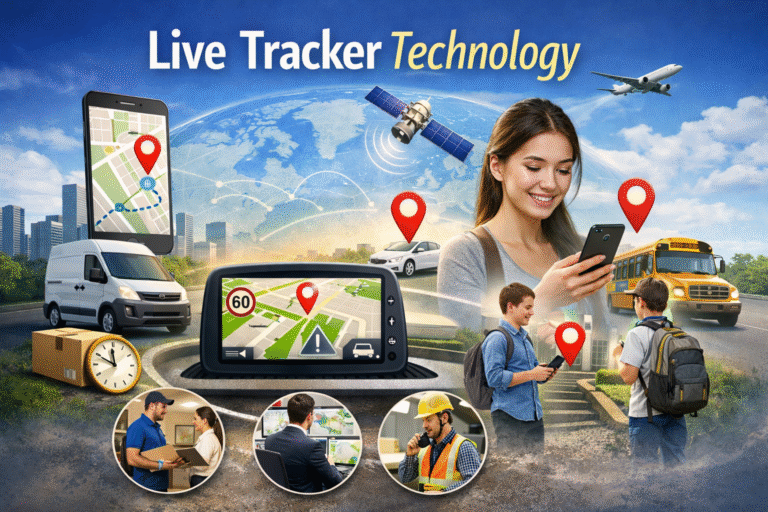
Real-time GPS location tracking is no longer a feature reserved for tech companies or government agencies. Today, anyone with a smartphone can track a device, verify a number, or monitor movement — instantly and accurately.
But here’s the thing most people miss: GPS tracking is not just about knowing where something is. It is about making smarter, safer decisions with that information.
So let’s break it all down, step by step.
What Is Real-Time GPS Location Tracking?
Real-time GPS location tracking refers to the continuous monitoring of a device’s geographic position using the Global Positioning System (GPS), cellular networks, and WiFi signals.
When a tracked device communicates with GPS satellites orbiting the Earth, it sends latitude and longitude coordinates to a server. That server then renders the position on an interactive map — and updates it in real time.
Unlike delayed tracking logs, real-time systems update within seconds. That speed makes all the difference in safety, logistics, and emergency situations.
Tools like Live Tracker simplify this entire process. You do not need any technical expertise to use them. You just visit the platform, run a check, and get the data you need.
How Does GPS Location Tracking Actually Work?
Let’s walk through the process step by step, because understanding this helps you use it better.
Step 1 — Satellite Communication Your device connects to at least four GPS satellites in orbit. Each satellite transmits a signal with timing data. The device calculates how long each signal takes to arrive.
Step 2 — Triangulation Using those signal delays, the GPS receiver calculates its exact distance from each satellite. With four or more signals, it pinpoints a precise location through a process called trilateration.
Step 3 — Signal Reinforcement GPS signals sometimes weaken indoors or in dense urban areas. This is where cellular towers and WiFi networks step in. They provide additional positioning data that fills the gaps and improves accuracy.
Step 4 — Data Rendering The coordinates reach the tracking platform’s server. The server converts raw latitude and longitude into a visual position on a map — one that updates automatically as the device moves.
This multi-source approach is exactly why modern real-time GPS location tools deliver such accurate results, even in challenging environments.
Who Uses Real-Time GPS Location Tracking?
More people use this technology than you might expect. And the use cases are genuinely useful.
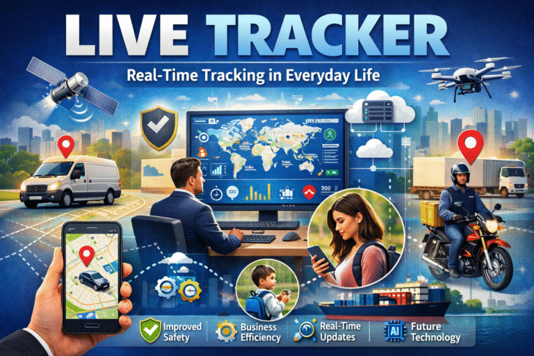
Parents and Families Parents use real-time GPS tracking to monitor their children’s location during school hours, sports events, or travel. Instead of constantly calling, a parent can glance at the map and confirm their child is where they should be.
Businesses and Fleet Managers Logistics companies rely on GPS tracking to monitor delivery vehicles, optimize routes, and provide customers with accurate arrival estimates. According to Google’s research on consumer expectations, real-time delivery updates significantly improve customer satisfaction.
Individuals and Personal Safety Travelers use location sharing when exploring unfamiliar cities. Friends share temporary locations during meetups. And anyone who has ever lost a phone understands the value of GPS tracking firsthand.
Emergency Response Emergency services use location data to dispatch help faster. Sharing your GPS coordinates in a crisis can save critical time.
You can explore more about how this technology fits into daily life on the Live Tracker blog.
Real-Time GPS Tracking and Mobile Number Verification
Here is something that surprises many users: GPS tracking and mobile number verification often go hand in hand.
Think about it. You receive a call from an unknown number. You want to know who owns it before you call back. Or someone sends you a suspicious message and you need to verify the number’s origin and network.
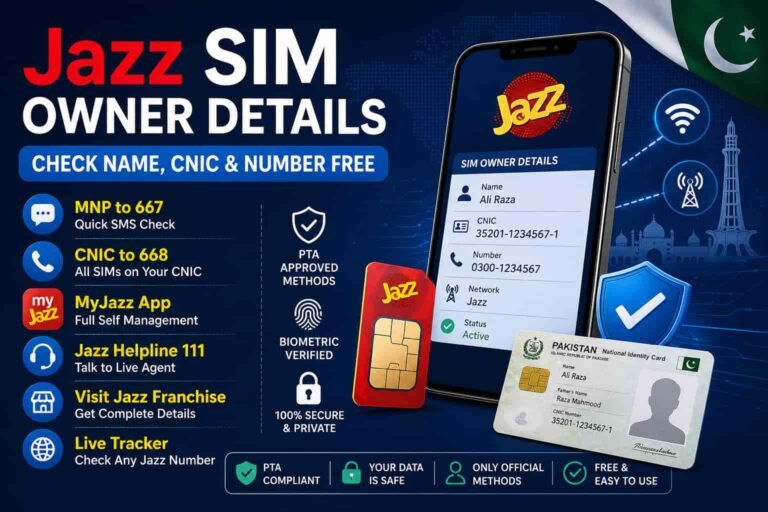
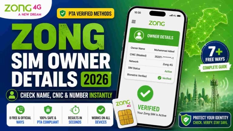
That is where number intelligence tools become important. Platforms like Live Tracker’s SIM Owner Details tool let you check publicly available registration data tied to a mobile number. This helps you verify identities, spot potential fraud, and protect yourself from scam calls.
Combining real-time GPS location data with number verification gives you a fuller picture of your digital safety. It is one of the reasons integrated platforms are so much more useful than single-feature apps.
Want to know which mobile networks operate in Pakistan and how they affect tracking accuracy? The Pakistani Mobile Networks page covers that in detail.
How AI Is Making GPS Tracking Smarter
Artificial intelligence has transformed what real-time GPS tracking can do. The old version of tracking simply showed you a dot on a map. The new version actively interprets movement data and flags patterns.
Here is how AI adds intelligence to GPS systems today:
Predictive Routing AI models study historical movement data and estimate where a device is likely to go next. If a connection drops temporarily, the system predicts the device’s position rather than showing a blank map.
Anomaly Detection If a tracked device suddenly moves outside its normal area, an AI-powered system detects the anomaly and sends an alert immediately. This is especially useful for fleet management and parental controls.
Route Optimization For businesses, AI analyzes past delivery routes and suggests more efficient paths. This reduces fuel costs and improves delivery times.
Pattern Analysis AI can identify behavioral patterns from location data, such as a consistent daily commute or regular stops. This information helps businesses and individuals understand movement habits over time.
According to McKinsey’s research on AI in logistics, AI-powered fleet tracking reduces operational costs by up to 15%. That is a significant return on a technology investment.
Geofencing: The Boundary Feature That Changes Everything
One of the most practical GPS tracking features is geofencing. If you have not used it yet, you are missing out.
A geofence is a virtual boundary that you draw on a map. When a tracked device crosses that boundary — either entering or leaving — the system sends you an instant notification.
Here is how people use it in real life:
- Parents set a geofence around school. If their child leaves the school area unexpectedly, they receive an alert immediately.
- Businesses set geofences around delivery zones. When a driver enters or exits a zone, the system logs the time automatically.
- Individuals set geofences around their home. If a tracked device leaves overnight, they get notified right away.
Geofencing turns passive tracking into an active safety system. It keeps you informed without requiring you to watch a map constantly.
Privacy and Responsible GPS Tracking
Let’s address this directly, because it matters.
Real-time GPS location tracking is a powerful tool. And like any powerful tool, it requires responsible use.
Ethical tracking always involves consent. You should never track another person’s device without their knowledge and explicit permission. Responsible platforms build consent mechanisms directly into their systems to prevent misuse.
In Pakistan, as in many countries, privacy regulations require that location data be handled carefully and transparently. Platforms operating in this space must protect user data through encryption and clear data policies.
Live Tracker operates with full transparency. Their Privacy Policy and Terms and Conditions clearly outline how data is handled and what users can expect.
The bottom line: use GPS tracking tools to protect people you care about, verify information you have a right to verify, and solve problems that genuinely need location data. That is responsible use.
Choosing the Right Real-Time GPS Location Tool
Not all GPS tracking platforms deliver the same quality. Here is what to look for when you evaluate your options.
Accuracy: The platform must combine GPS, cellular tower data, and WiFi positioning to deliver reliable results across different environments. A tool that relies on GPS alone will fail indoors and in dense urban areas.
Speed: Real-time means real-time. A tracking platform that updates every few minutes is not truly real-time. Look for systems that refresh positions within seconds.
Data Security: Your location data is sensitive information. The platform you use must employ end-to-end encryption and maintain strict data access controls.
Integration: The most useful platforms combine GPS tracking with complementary tools — like SIM verification, network information, and device insights. Check out the Live Tracker SIM Information guide to see how these tools work together.
Ease of Use: You should not need a technical background to use a tracking tool. The best platforms deliver complex data through a clean, simple interface that anyone can navigate.
What the Future of GPS Location Tracking Looks Like
The technology behind real-time GPS tracking is still evolving fast. And the next few years will bring some significant upgrades.
5G Networks: Faster mobile networks mean faster data transmission. With 5G, location updates happen with near-zero delay, which is critical for emergency services and high-speed vehicle tracking.
IoT Integration: Connected devices — from smartwatches to delivery drones — generate constant location data. GPS tracking platforms will increasingly process this data from multiple device types simultaneously.
Enhanced AI Analytics: Future systems will not just tell you where a device is. They will tell you why it moved, predict where it will go, and flag unusual behavior before it becomes a problem.
Improved Indoor Tracking: Current GPS systems still struggle inside buildings. New technologies combining Bluetooth beacons, ultrawide-band signals, and AI positioning will improve indoor accuracy dramatically.
According to Statista’s GPS market forecast, the global GPS tracking market is projected to grow significantly through 2030, driven by e-commerce, smart city development, and personal safety applications.
Real-time GPS location tracking is not a passing trend. It is becoming foundational infrastructure for the digital world.
Final Thoughts
Real-time GPS location tracking gives you information that was once impossible to access without expensive hardware or specialized software. Now you can check a location, verify a number, or monitor a device in seconds — directly from your browser.
The technology works because it combines GPS satellites, cellular networks, WiFi positioning, and AI analytics into one seamless system. And when you use a platform like Live Tracker that integrates these tools responsibly, you get both power and peace of mind.
Whether you are a parent keeping your family safe, a business owner managing a fleet, or an individual protecting your digital security, real-time GPS location tracking gives you exactly what you need: accurate, fast, and reliable information — right when you need it most.
Want to go deeper? Check out the Live Tracker blog for more guides on tracking technology, SIM verification, and digital safety in Pakistan.